3 min read
Sols 4300-4301: Rippled Pages
Earth planning date: Monday, Sept. 9, 2024
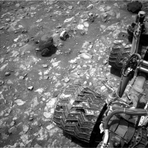
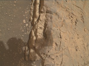
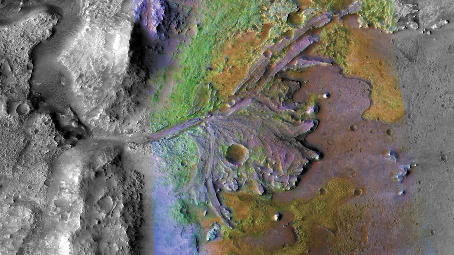
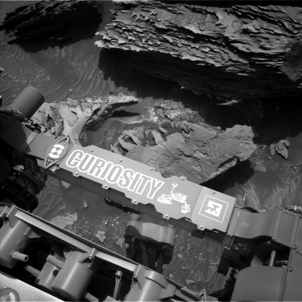
With today’s plan, Curiosity completes its most southerly planned exploration of the Gediz Vallis channel. From here, our rover will head north and climb out of the channel to explore terrain to the west. Our planned drive to the “Tungsten Hills” rocks, named for a famous mining district near Bishop, California, completed successfully over the weekend, placing a pile of unusual dark rocks within our workspace. Curiosity is currently in the “Bishop” quadrangle on our map, so all targets in this area of Mount Sharp are named after places in the Sierra Nevada and Owens Valley of California. On sols 4300-4301, Curiosity will perform a thorough examination of these rugged boulders, which are covered in paper-thin sedimentary layers like the pages of a book (see image). Some layers have intriguing ripple structures that may have formed in running water or windblown sand. These features are the prime targets for contact science and remote observation at this location.
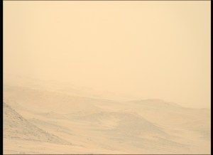
On Sol 4300, Curiosity will obtain ChemCam laser spectra and Mastcam imagery on a part of the closest plate-like rock called “Bonita Flat,” after a high valley above the southern Kern River canyon in Sequoia National Forest. ChemCam will also obtain telescopic views of a section of the Gediz Vallis channel banks with its RMI camera. Mastcam will take a mosaic of the upper reaches of the channel, then turn its cameras on the interesting bedrock of “Coffeepot Canyon,” honoring a ravine along the precipitous East Fork of the Kaweah River canyon in Sequoia National Park, unfortunately now engulfed in a huge wildfire.
The first science block ends with atmospheric observations, including a dust-devil movie, supra-horizon cloud imaging, and Mastcam measurement of dust in the air across the crater. Curiosity will then use its arm to brush the dust from the closest block in an area dubbed “Pond Lily Lake,” for a petite meadow lake atop the canyon wall of the San Joaquin River, downstream of Devil’s Postpile National Monument. This cleared spot will then be imaged by MAHLI and Mastcam, and its composition will be measured by APXS spectroscopy. MAHLI will perform an intricate “dog’s eye” maneuver to obtain detailed images of ripples in “Window Cliffs,” named after sheer walls above the spectacular fault-controlled Kern River canyon west of 14,505-foot Mount Whitney, the tallest peak in the lower 48 states. MAHLI wraps up a very full day of work by imaging the scalloped edge of the largest nearby block, dubbed “Boneyard Meadow” for a wetland in the western Sierra foothills where many sheep sadly perished due to a late spring snowstorm in 1877.
Early on sol 4301, Curiosity will use Mastcam to thoroughly document the Tungsten Hills in pre-sunrise morning light. Later in the day, a second science block starts with ChemCam spectroscopy and Mastcam imagery of “Castle Domes,” honoring the granite domes of Castle Valley, acclaimed as some of the most beautiful mountain scenery in Kings Canyon National Park. ChemCam RMI will perform telescopic observations of the channel floor. Mastcam will look for possible sulfur rocks at the base of the Tungsten Hills blocks in a target named “Hummingbird Lake,” for an alpine lake at 10,000 feet between Bloody and Lundy Canyons near Mono Lake. This science block of the plan ends with Navcam deck monitoring, dust measurement, and a large dust-devil survey. Curiosity will then drive north, taking a MARDI “sidewalk” video of the terrain under the rover during the drive.
Written by Deborah Padgett, OPGS Task Lead at NASA’s Jet Propulsion Laboratory
Share
Details
Related Terms
from NASA https://ift.tt/QIj95v0

